

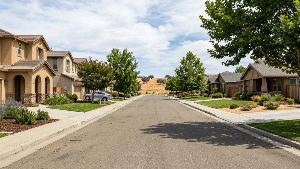
Roseville is a major suburb in the Sacramento Valley, sitting about 16 miles northeast of downtown Sacramento, CA. It’s the most populous city in Placer County and functions as a primary employment and retail center for the surrounding region. If you’re shopping for a home across different Roseville, CA zip codes, you’re mostly looking at master-planned developments and commercial hubs tied together by major interstates.
The market moves. Homes are selling in about 23 days right now, with a median sale price of roughly $646,000 and around 370 homes available. Before you commit to this part of Northern California, it helps to understand exactly where Roseville sits and what your daily commute would look like.
Geographic Layout and County Lines
Roseville sits in southwestern Placer County, California – right at the transition point where the flatter Sacramento Valley starts giving way to the Sierra Nevada foothills pushing up to the east.
The city shares borders with several established municipalities. To the north and east, you’ve got Rocklin, Whitney, and the unincorporated community of Granite Bay. To the south and west, it borders Sacramento County towns including Antelope, Citrus Heights, and Folsom, as well as Pleasant Grove.
Proximity to Sacramento
Downtown Sacramento is your nearest major metropolitan center, and depending on your starting point and route, you’re looking at roughly 16 to 21 miles. Most drivers make that trip in 20 to 25 minutes under normal conditions. That’s close enough that Roseville has become a natural landing spot for people who work in central Sacramento but want a suburban footprint.
Commuting Routes and Public Transit
Interstate 80 runs directly through Roseville and does most of the heavy lifting for regional travel. State Route 65 cuts through the northern edge of the city, and the I-80/SR-65 interchange is a major traffic juncture for anyone heading toward neighboring towns or into Sacramento.
For air travel, Sacramento International Airport (SMF) is your closest major hub – roughly 17 to 27 miles out, with a drive that typically runs 25 to 31 minutes via surface streets and highways.
Local and Regional Transit Options
If you’d rather not drive, Roseville Transit operates local fixed routes, on-demand services, and paratransit. During weekday rush hours, the system offers direct commuter bus service into Downtown Sacramento.
The city also maintains the Roseville Intermodal Station, which connects riders to Amtrak’s Capitol Corridor train service. From there, you can link to Placer County Transit and the Sacramento Regional Transit (SacRT) systems for broader travel across the valley.
Real Estate and Employment Hubs
The Roseville housing market leans toward master-planned single-family home communities. Subdivisions like West Park, Highland Reserve, Johnson Ranch, and Cirby Ranch make up a large share of the current 372 active listings – you’re not going to find many large rural acreage properties here.
There’s also a dedicated 55+ side of the market, anchored by Sun City Roseville with over 3,300 homes. Across the city, properties are selling at an average of 99.5% of list price in about 23 days. That’s a competitive environment, and it’s worth going in with that expectation.
Shopping Centers and Medical Employers
Roseville pulls its weight as a regional employment and retail center well beyond its residential neighborhoods. The Westfield Galleria at Roseville, the Fountains at Roseville, and one of the largest auto malls in the country are all here.
On the employment side, you’ve got light manufacturing, high-technology companies, and a significant medical sector. Sutter Roseville Medical Center and Kaiser Permanente Roseville Medical Center both run large campuses in the city – which matters if you work in healthcare and want to avoid a long commute out.
Frequently Asked Questions
What county is Roseville, CA located in?
Roseville is located in Placer County, California. It’s the largest and most populous city in the county.
How far is Roseville from Sacramento?
Roseville is roughly 16 to 21 miles northeast of downtown Sacramento. The drive typically takes 20 to 25 minutes via Interstate 80.
What are the closest neighboring cities to Roseville?
The city is bordered by Rocklin, Whitney, Pleasant Grove, Antelope, Citrus Heights, and Folsom. Granite Bay, an unincorporated community in Placer County, is also directly adjacent.
How do real estate prices in Roseville compare to nearby Sacramento or the Bay Area?
The median home sale price in Roseville is currently around $646,000. Buyers coming from the Bay Area often find this price point lower than coastal markets, though exact comparisons depend on the specific cities involved.
What are the most popular neighborhoods to buy a home in Roseville, CA?
Many buyers gravitate toward master-planned communities like West Park, Highland Reserve, Johnson Ranch, and Cirby Ranch. If 55+ active-adult living is what you’re after, Sun City Roseville features over 3,300 homes.
Does Roseville’s location in the Sacramento Valley make properties prone to flooding or wildfires?
It depends on the specific property and how close it sits to local creeks or open spaces. Review the official county flood maps and state fire hazard severity zone maps during your due diligence period – that’s where the real answers are.
How long is the drive from Roseville to major Northern California destinations like Lake Tahoe or San Francisco?
Travel times vary based on traffic along Interstate 80, which connects Roseville to both the Sierra Nevada mountains and the Bay Area. The drive to downtown Sacramento runs about 20 to 25 minutes, putting you on the main corridor to either destination.