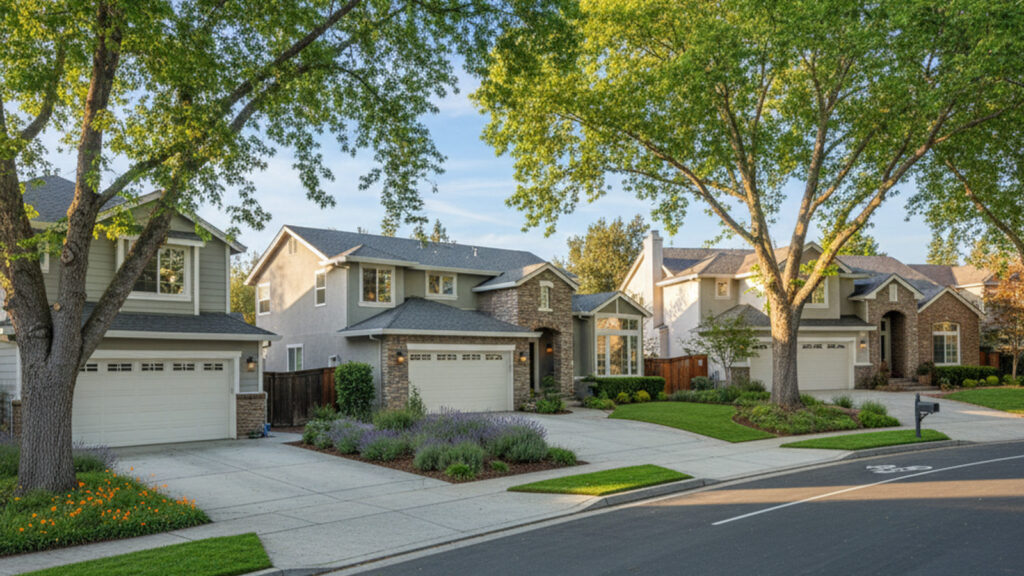
Buyers evaluating homes in Placer County often weigh the balance between finding the right property and managing their daily travel. Understanding commute times from Roseville CA is a crucial step in making an informed real estate decision. Roseville offers diverse housing options, but its location relative to major employment centers requires a clear look at local transportation networks.
The reality of traveling from this area depends heavily on your specific destination and your preferred mode of transit. Whether you plan to drive down Interstate 80 or take advantage of expanding regional bus routes, knowing the exact distances and typical delays will shape your daily routine. This guide breaks down the realistic travel expectations for 2026 so you can choose a neighborhood that aligns with your lifestyle.
Placer County continues to attract residents seeking a balance of suburban amenities and regional accessibility. Evaluating the local transportation infrastructure is just as important as inspecting the foundation of a house. This overview provides the objective data required to map out your future travel logistics confidently.
Average Drive Times to Regional Employment Hubs
Roseville sits in a strategic geographic position relative to the major job markets of Northern California. The city is located approximately 20 miles northeast of the Sacramento city center. This distance provides a solid physical buffer from the urban core while maintaining direct highway access to major regional employers.
Drive times vary significantly based on your departure time and the specific route you choose. A home located in West Roseville will require a longer initial drive just to reach the highway compared to a property situated in East Roseville near the Interstate 80 corridor. Buyers should always map the drive from a specific property address to get the most accurate picture of their daily travel.
Commuting to Downtown Sacramento
The daily drive to downtown Sacramento is the most common route for local workers. Under ideal conditions with no traffic, this trip typically takes about 25 to 30 minutes from central Roseville. This baseline provides a quick trip for those traveling during the middle of the day or late at night.
Peak commute hours drastically change this expectation for most drivers. During the busy morning window from 7:00 AM to 9:00 AM, and the afternoon rush from 4:00 PM to 6:00 PM, the drive generally stretches to 45 to 60 minutes. It is wise to factor in an additional 15-minute buffer during these peak periods to account for unexpected delays.
Connecting to Folsom and Rancho Cordova
Many residents travel to employment centers in Folsom and Rancho Cordova instead of heading downtown. Reaching Folsom typically involves taking surface streets like Auburn-Folsom Road or utilizing the local highway connections. This cross-county commute is generally smoother than the downtown route and takes roughly 20 to 35 minutes depending on your exact starting zip code.
Traveling south to Rancho Cordova involves navigating US-50 or taking Hazel Avenue directly from Roseville. This route avoids the heaviest Interstate 80 congestion, making it a highly predictable daily drive. Buyers working in these neighboring hubs often find that Roseville offers a highly convenient geographic starting point.
Navigating Interstate 80 and State Route 65
Interstate 80 serves as the primary transportation corridor for westbound travel into Sacramento and beyond. This major artery handles the bulk of the region’s daily traffic, making it a critical focus for anyone buying a home in the area. The flow of vehicles here dictates the rhythm of the morning commute for thousands of local residents.
The interchange where State Route 65 meets Interstate 80 is a widely recognized local pinch point. Traffic frequently slows down in this specific area as vehicles merge from the northern suburbs of Lincoln and Rocklin. Understanding this bottleneck helps drivers plan their morning departures more effectively.
Utilizing the carpool lanes on Interstate 80 can significantly reduce your time spent on the road. These High Occupancy Vehicle lanes require two or more occupants and offer a valuable bypass around standard traffic during peak hours. Relying on mobile applications like Waze or Google Maps is essential for spotting accidents or construction in real-time.
Many buyers specifically look for homes near the Douglas Boulevard or Eureka Road on-ramps to streamline their mornings. Minimizing the time spent on local surface streets makes a noticeable difference in the overall daily travel duration. A five-minute drive to the highway on-ramp is a major selling point for real estate in this area.
Public Transit and Commuter Service Alternatives
The regional transit infrastructure connecting Placer County to the broader Sacramento area has expanded significantly. Public transportation offers a practical alternative for residents who want to avoid the stress of highway driving. Utilizing these networks allows passengers to reclaim their travel time for work, reading, or relaxation.
Proximity to transit stops can directly influence real estate decisions and long-term property values. Buyers who prioritize a seamless commute often focus their property searches on neighborhoods within walking distance of major bus stops or train stations. Evaluating these transit options upfront ensures your new home supports your preferred daily routine.
Roseville Transit Commuter Routes
The city operates specific express bus services dedicated to moving the local workforce into downtown Sacramento. This service runs Monday through Friday during the busiest morning and afternoon hours. Integrating public transit into your routine is highly efficient, especially with the recent addition of electric buses to the fleet.
The commuter service includes several key features designed specifically for passenger convenience and reliability:
- Average scheduled transit times are optimized to approximately 60 minutes for the full route.
- Passengers have access to real-time bus tracking through a dedicated mobile app.
- The express routes utilize dedicated stops to minimize travel delays during peak traffic.
Utilizing these express routes allows riders to avoid the physical strain of navigating stop-and-go highway traffic. Many commuters find that the predictable schedule makes this service vastly superior to driving a personal vehicle.
Placer County Transit Services
The broader Placer County Transit network facilitates movement between Roseville and neighboring cities like Rocklin, Auburn, and Lincoln. This system provides reliable local transportation for those working outside of the immediate downtown Sacramento area. It serves as a vital link for navigating the northern suburbs without a personal vehicle.
This local bus network also offers direct connections to the Sacramento Regional Transit system. Passengers can easily transfer to the SacRT Blue Line light rail stations for extended travel throughout the region. This interconnected web makes it entirely possible to commute across county lines efficiently.
Amtrak Capitol Corridor Train Options
The Amtrak Capitol Corridor station is situated right in historic Roseville, providing a premium regional train service. The 2026 schedule includes 15 weekday round trips, ensuring commuters have flexible departure options. Train travel time from Roseville to the Sacramento Valley Station is a highly predictable 25 to 30 minutes.
Commuters choosing the train enjoy significant comfort amenities onboard. The cars feature free Wi-Fi, spacious seating, and reliable air conditioning throughout the year. This route also serves passengers traveling much further west into the San Francisco Bay Area for specialized work requirements.
Essential Local Amenities for Daily Commuters
The infrastructure supporting the daily commuter lifestyle in Roseville extends well beyond the highways. The city maintains several municipal park-and-ride lots used heavily by carpoolers and transit riders. Notable hubs at Taylor Road, Saugstad Park, and Mahany Park offer strategic staging areas for the morning drive.
Completing daily errands is highly convenient thanks to the proximity of major retail centers like the Westfield Galleria. Commuters can easily stop for groceries, dining, or shopping immediately after exiting the highway on their way home. This concentration of retail infrastructure near major highway exits streamlines daily routines immensely.
Healthcare professionals also benefit from immediate access to the Sutter Roseville Medical Center. The hospital is located directly off the main traffic corridors, making it easily accessible for both employees and patients. Buying a home near these centralized amenities ensures you spend less time driving and more time enjoying your property.
Properties located near these transportation and retail hubs consistently hold strong appeal in the local real estate market. Buyers recognize the inherent value of a location that minimizes daily friction and maximizes convenience. Ultimately, choosing a home with easy access to these amenities transforms a tedious commute into a highly manageable routine.
Frequently Asked Questions
What is the average commute time from Roseville to Sacramento?
The baseline drive time to downtown Sacramento is roughly 25 to 30 minutes without traffic. During the peak morning and afternoon rush hours, the trip generally takes 45 to 60 minutes. Commuters utilizing the express bus service can expect a scheduled transit time of approximately 60 minutes.
What are the public transportation options in Roseville, CA?
Residents have access to multiple public transit networks, including Roseville Transit and Placer County Transit. These bus systems connect local neighborhoods to regional light rail stations and downtown employment centers. The Amtrak Capitol Corridor also provides daily train service directly from the historic downtown station.
Does Roseville Transit offer an app for real-time tracking?
Yes, passengers can utilize a dedicated mobile app to monitor bus locations in real-time. This technology helps riders time their arrivals at the bus stop perfectly to avoid long waits. It also provides immediate updates on any unexpected route delays or construction detours.
How do traffic patterns on Interstate 80 and CA-65 affect morning drives?
Interstate 80 is the primary westbound corridor, and it experiences heavy volume during the 7:00 AM to 9:00 AM window. The interchange where CA-65 merges onto Interstate 80 is a specific bottleneck that regularly slows traffic. Drivers using navigation apps can monitor these specific pinch points to adjust their departure times accordingly.